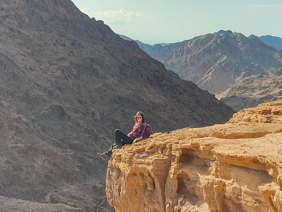
The desert in winter is one of the most beautiful things in our world: perfect visibility, clean air and a great day’s temperature to survive tough climbs without sweating too much. This February, I chose to travel South of Israel, to the Eilat Mountains, an area that hardly ever floods even if the rest of the country is raining (the average annual rainfall here stands at 10 mm) so that you can walk calmly and enjoy an amazing powerful desert in its beauty and full of crazy colors.
The trek route and preparations for three days in the desert
In the Eilat Mountains the last (or first) part of the Israel Trail passes, and there are several short circular routes here. In the post, I also wrote recommendations for day trips. I joined the New Age Trekking Three-Day Trekking.
The trek is an organized hike. In other words, it included all the logistics involved in the trip: transportation to Eilat, amazing food, Knowledgeable guidance by “New Age Trekking” guide even sleeping bags for those who need the gear. Travelers are required to bring mountain shoes, at least a 28-liter backpack for hiking, a hat, 4 liters of water per day, sunscreen, a plate and multi-cutlery and very warm clothing for the night.
Here is the full route we did:
Tsfunot Wadi, Amir Wadi and Shkhoret Camping - day 1
The first day was opened by a bus that departed from Haifa at 4 am, picking up passengers in Tel Aviv at five am.
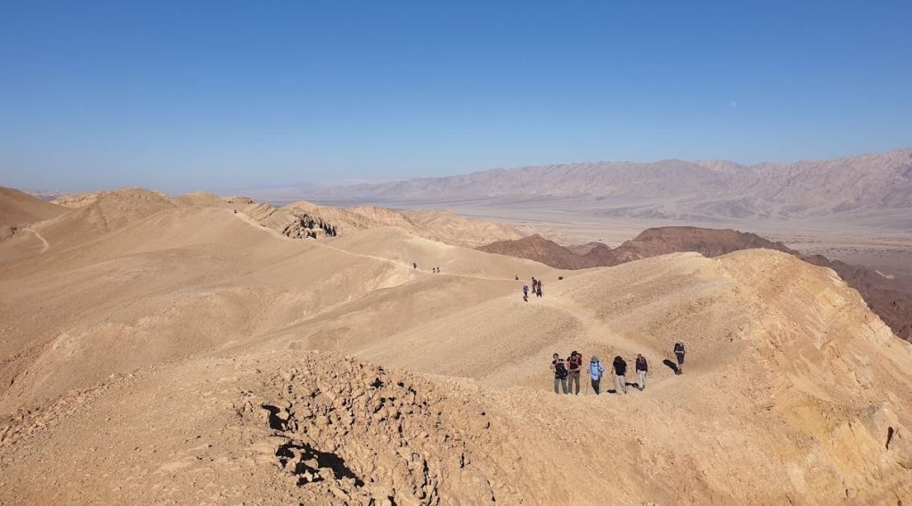
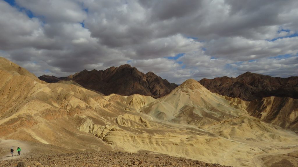
Towards 10:30, we turned left from the Arava Road into the desert and started the route near the Sasmographic Station. After twenty minutes of pleasant walking, we embarked on the first climb to a trek which was quite cruel (perhaps very hot) to the summit of Mount Amram, through beautiful wadi Tsfunot.
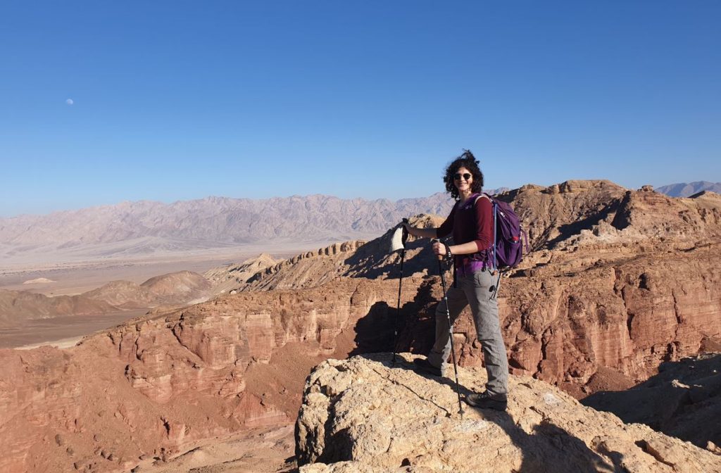
After taking pictures in front of the view and a glimpse of the impressive Amram columns, we entered Wadi Amir. Wadi in Arabic means dry river bed, in Israel we use this word to describe Arroyo.
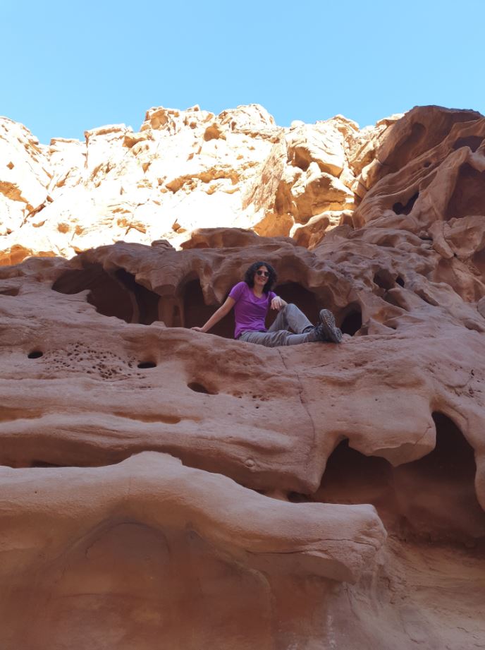
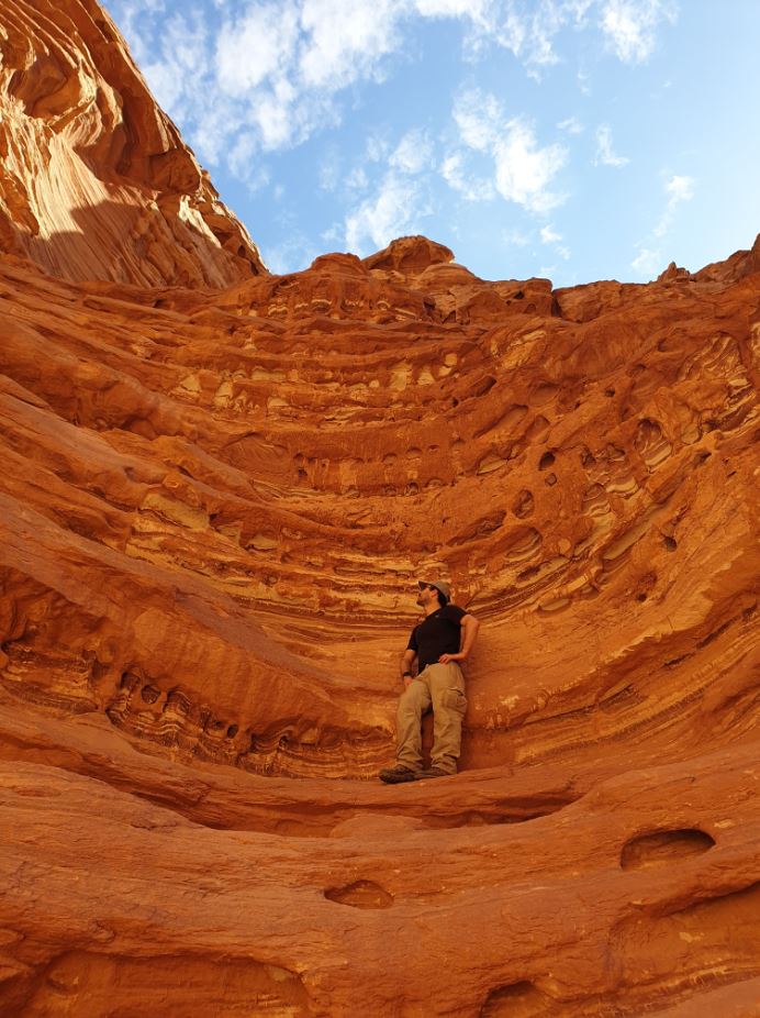
Here you will find red walls in impressive rock formations that are special to photograph alongside them and at then – the first viewpoint from which we saw the Red Sea, Eilat and Aqaba. We completed the route in Shkhoret Camping park, where a hot soup waited for us.
The great food was cooked by the “New Age Logistic Israel” team ,who later also prepared us a rich Poika (Israeli stew) and other alcoholic surprises.
In total we walked 12 miles and climbed 800 meters of ascent. Here is The full map ot the trail. A circular route can only be done in Wadi Amir.
Shkhoret Canyon, the Invisible Wadi and Mount Sholomo Climbing - Day 2
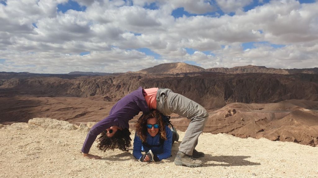
Our first day and night were warm. but in the second morning was cooler the temperatures dropped significantly and I literally took a coat with me for the whole day. A little yoga exercises, breakfast with Shakshuka (name of traditional dish of hot eggs and tomatos) and porridge plus strong black coffee – the second and long day of the trek opens.
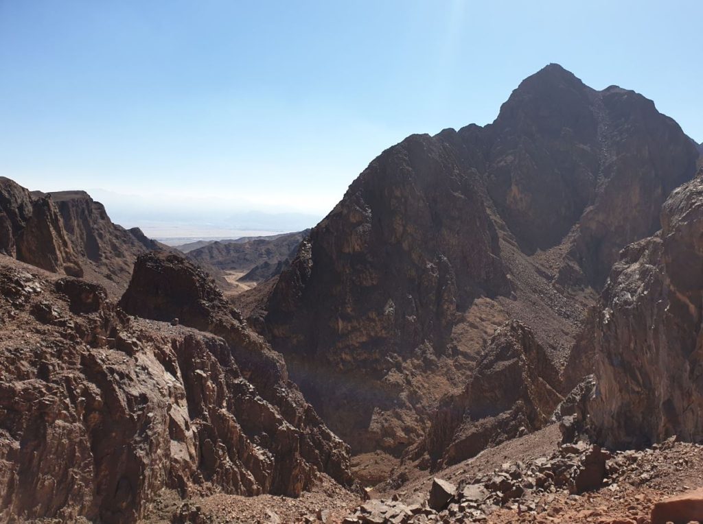
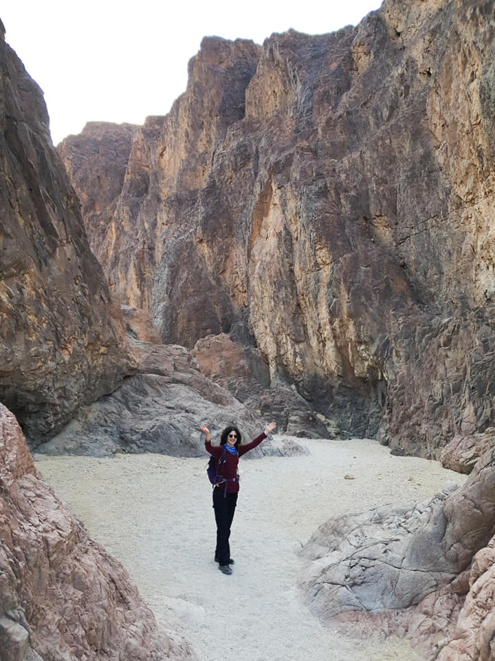
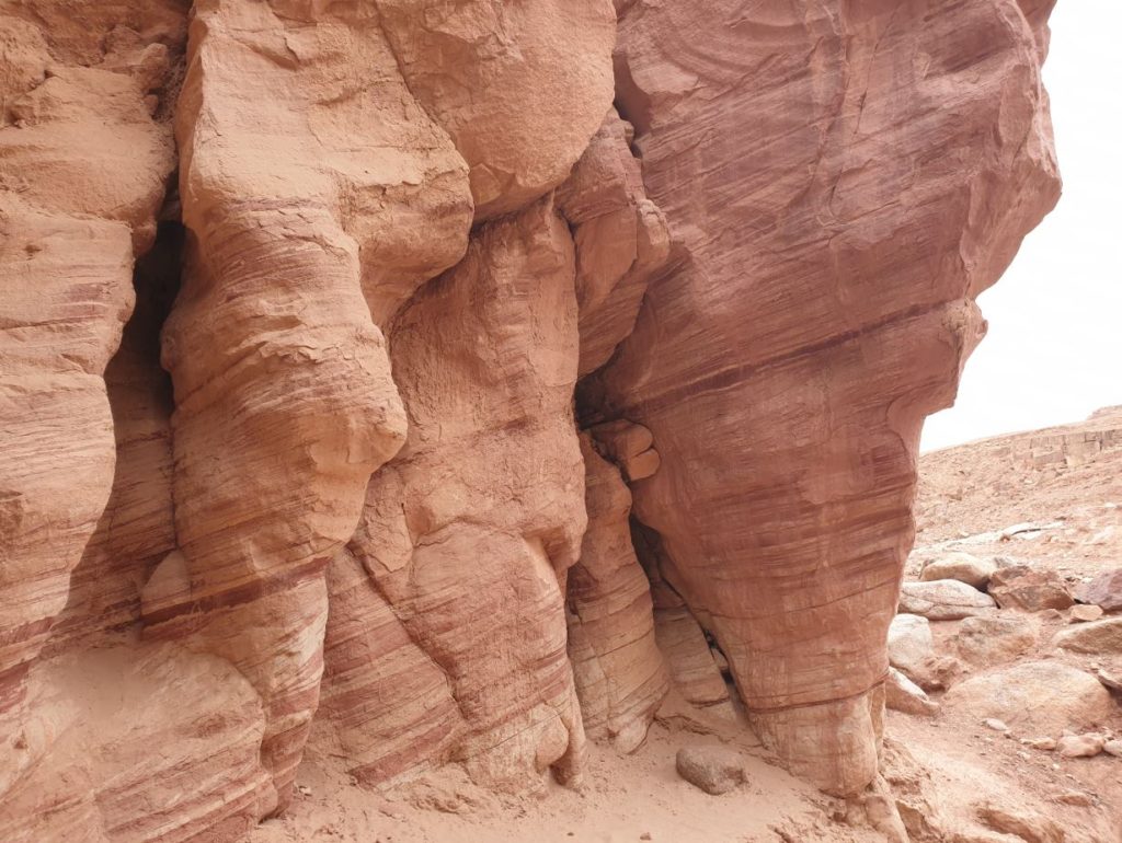
After about fifteen minutes from the camp, we reached the entrance of Shkhoret Wadi (means black in Hebrew), high and impressive granite cliffs in black and red. Quite quickly we started the first climb in the morning, to Mount Shkhoret. The first coffee break was made near the Lost Wadi, a track that looks like a small canyon with impressive rock cliffs on both sides – just no way out. Well, it’s worth going all the way in and climbing those red rocks, reminiscent of a huge, dripping layer cake.
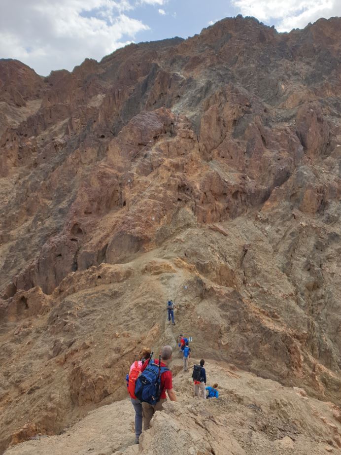
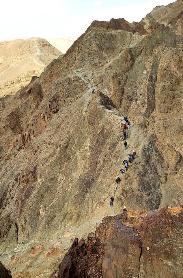
After about half an hour of easy walking, the trek gets into the really serious part: the climb to Mount Shlomo. We first went through the saddle of the millions (“Saddle” means a saddle shape in the area of two mountains) and from there we went on a long climb that included a lot of pegs and hands up to the summit of Mount Shlomo (the mountain is deceptive and several times I had already imagined that I had reached the end – but hid another vicious ascent).
guarantee the scenery at the edge will be just as amazing. This climbing is really not suitable for small children and I would also not recommend that dog owners bring the pets with them. Be careful. The wind here is strong and really can move you lightly.
After the climb that took almost an hour, we went down to Wadi Shlomo’s camp, which is close to the road. On the second evening, it was much more cold, and fortunately I brought a hot bottle to cuddle with (a champ upgrade).
In total we walked 15 miles on this day and climbed 1000 meters in aggregate. The route map here.
One day circular route can be made to Mount Solomon and Wadi Mapalim.
Wadi Gishron, Wadi Zefahot and a spectacular view point at Zefahot mountion - Day 3
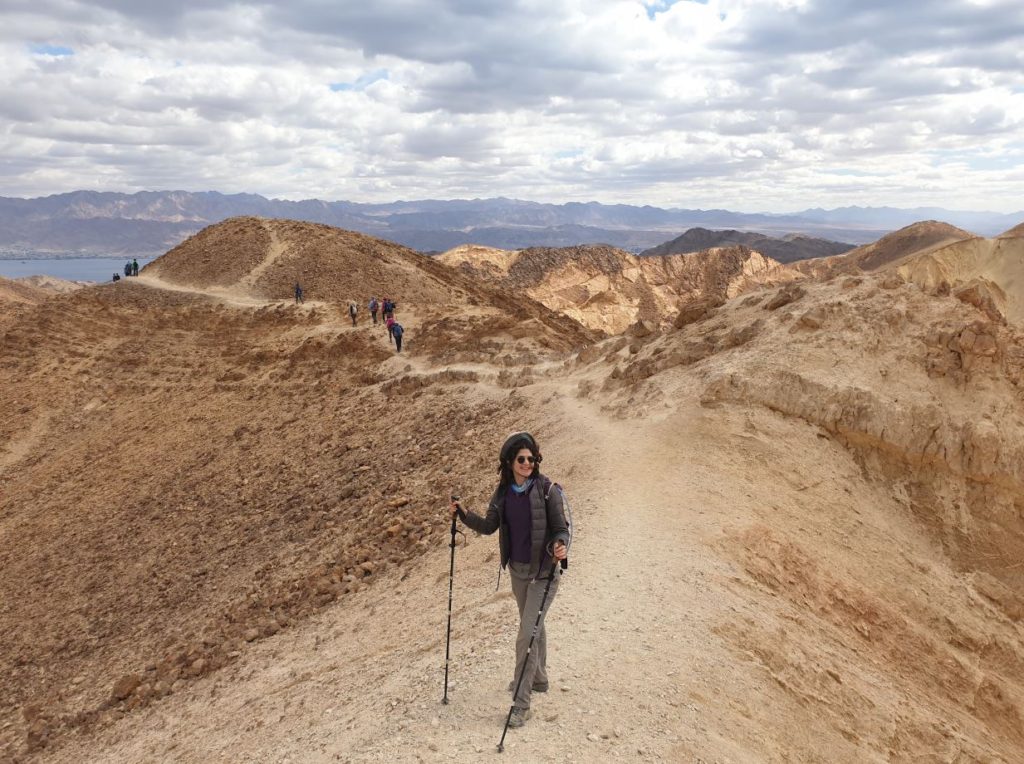
Saturday morning started at wake-up time at 6:15 am (half an hour more than yesterday) and then we had breakfast and yoga exercises for body warming. The trek opened a short walk along Highway 12 to the junction, where we continued towards Zafra Crossing. First, crawl inside a long, low concrete pipe until you enter a stream with red walls on both sides. Five minutes walk and you will reach the gimmick of the track: Zafra Crossing, a crack that at first glance seems not passable and only if crawling right on the stomach and knees for a brief moment pass to the other side into Gishron stream.
We continued walking in wadi Gishron and passed in a few more fun crossing points up the climb up a bridge that included a great view of Sinai, which suddenly seemed particularly close. After lunch, we began to descend bulbuses towards wadi Zfahot, the final part of our hike and, symbolically, the final part of the Israel Trail.
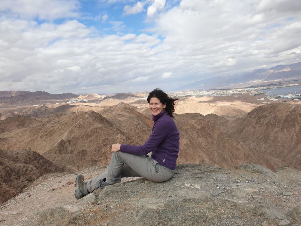
The Zefahot Mountains landscape is one of the most beautiful I have seen in the desert, and we have also won the day with such perfect visibility that we have seen Egyptian Sinai, the distant mountains of Saudi Arabia, Jordanian Aqaba and Red Mountains and of course our Eilat and Arava. This is an amazing corner for photography and coffee, and the climb here has been relatively easy compared to other slops/climbingsin this trek.
From Mount Zefahot the descent is easy to walk but steep (try running down instead of walking, it’s really fun!) And we ended up at the SPNI Eilat hostel and across the beach. From here, we took a short drive to the free “Lighthouse” beach to swim in the Red Sea (not sure it was wise to get into the water in February, but at least I saw lionfish), drank cold beer to end the hike and started the long trip north.
In total we walked 13km, 500m ascent. The map is here.
The trek cost NIS 875. Feel free to follow Idan and Ori’s Facebook page or contact them at Wastap and get more updates on their trips in Israel and abroad.

Just a fast hello and also to thank you for discussing your ideas on this page. I wound up in your blog right after researching physical fitness connected issues on Yahoo guess I lost track of what I had been performing! Anyway I’ll be back once once more inside the long run to test out your blogposts down the road. Thanks!